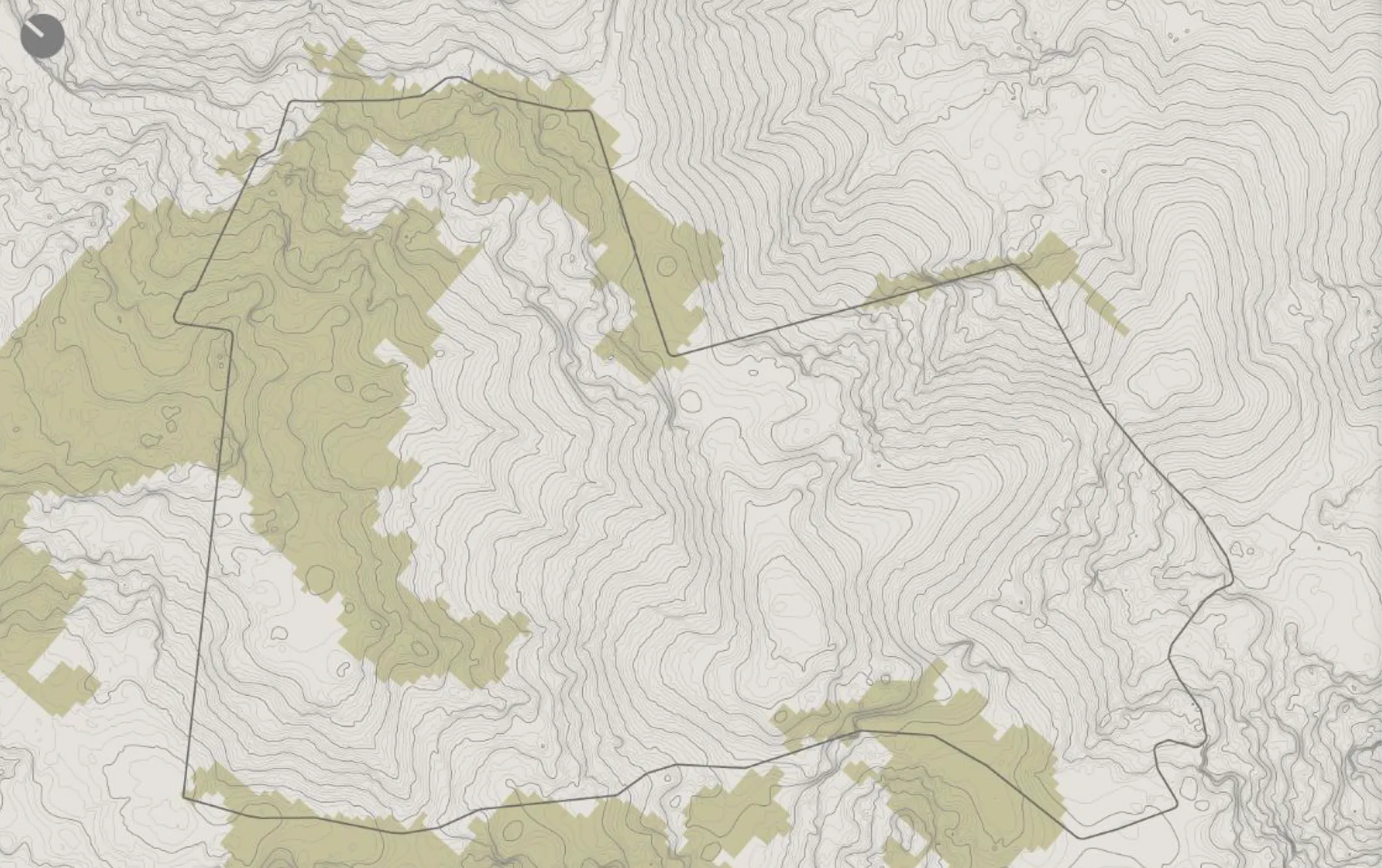
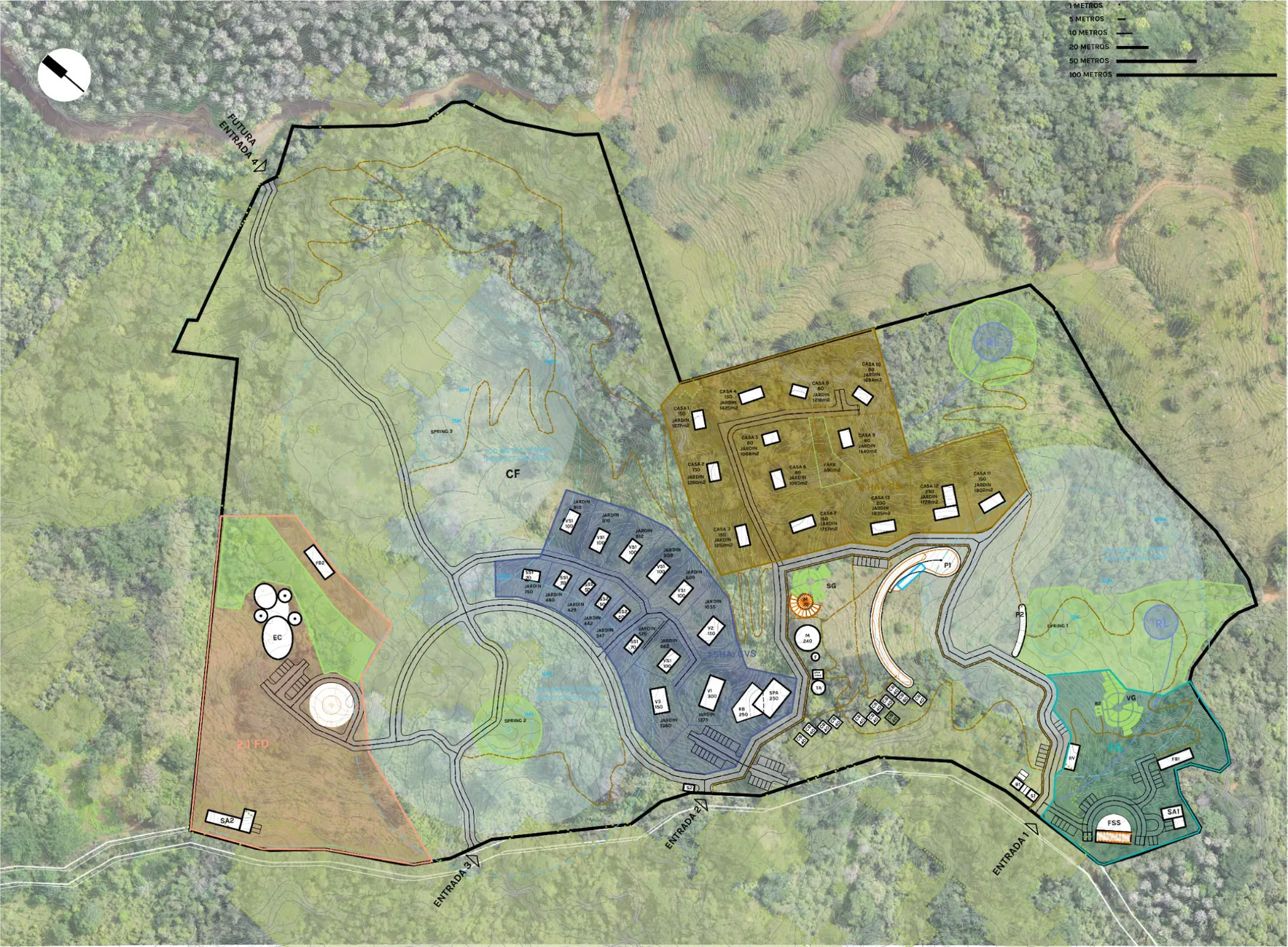
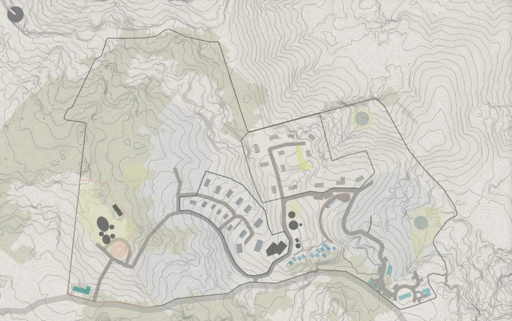
01
Where to build
Areas with the strongest development potential, and areas where intervention creates unnecessary cost, risk or conflict.
For developers, investors and landowners deciding what to do with complex land.
A property can come with surveys, topography, environmental studies, regulations, engineering reports and financial projections. But these are usually produced separately.
The result? More information, but not necessarily a clearer decision.
No single source tells you where development creates the most value, where intervention should be limited, what should be protected, what kind of development actually belongs on the land, or how the place will feel to the people who use it.
Different sources give you different answers. ATLAS turns them into one direction.
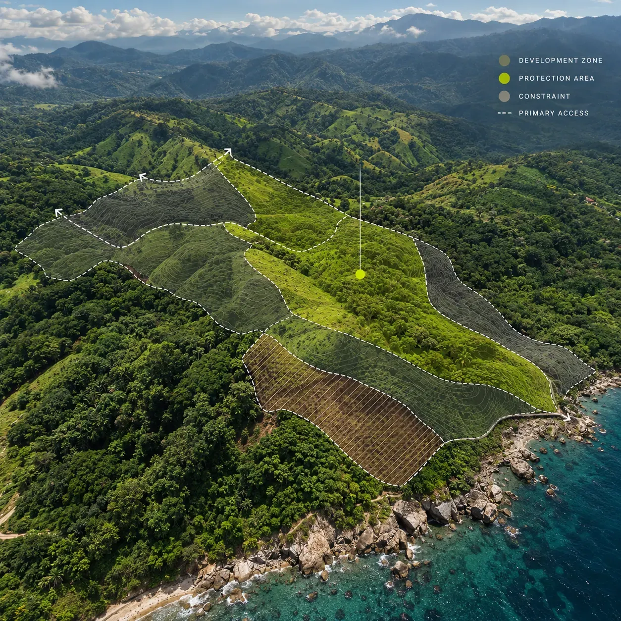
ATLAS reads the property as one system to identify where development can create the greatest value, and where protection can create value too.
Areas with the strongest development potential, and areas where intervention creates unnecessary cost, risk or conflict.
The type of development that best responds to the territory.
Natural and spatial qualities that can strengthen long-term value.
How a place feels, and how it moves. Through structured site observation and sensory mapping, we read the land's atmosphere and currents to guide where people arrive, gather and rest.
Infrastructure, priorities and phasing.
The goal is not maximum occupation. It is the development model capable of creating the greatest territorial, experiential and commercial value.
ATLAS combines site reading, development logic, digital spatial modelling and a qualitative reading of place to understand how the property's systems interact and what they mean for development.
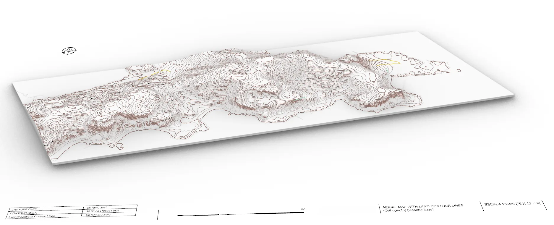
Bring topography, environment, regulation, access and other relevant information into one coordinated framework.
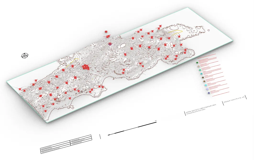
Understand how slope, water, access, climate, views, privacy, infrastructure, environmental sensitivity and the energy of the place interact.
Identify where development creates value, and where protection creates value.
Translate the reading into development scenarios, priorities, phasing and strategic recommendations.
Scoped to the property and its objectives, the reading can include:
You aren't handed raw information to interpret alone. The analysis is translated into a prioritised, usable strategy. That translation is the real product of ATLAS.
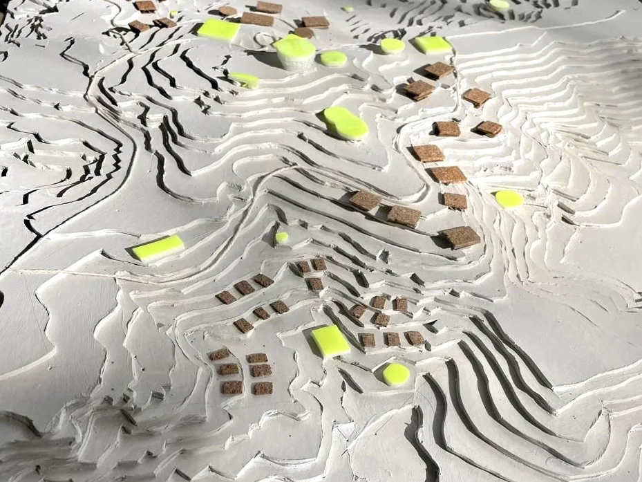
What the findings mean for the investment, and which decisions they should guide.
Capacity scenarios are strategic, subject to confirmation through the relevant legal, environmental and technical studies. ATLAS complements, rather than replaces, cadastral, environmental, engineering, legal and financial studies.
The 4.28% comparison represents the relationship between proposed built area and total property area. It does not represent official site coverage or construction footprint.
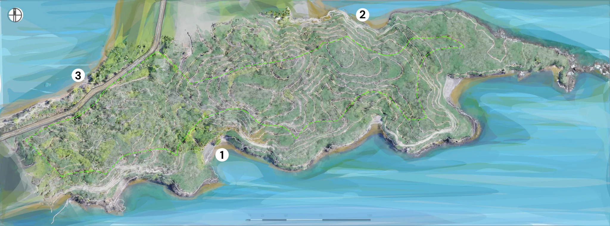
A complex island with steep terrain, multiple orientations, difficult maritime access, distinct coves, ridges and conservation areas.
A territorial hierarchy across hospitality, arrival and access, infrastructure, cliff and hilltop accommodation, conservation and areas for minimal or no intervention.
A limited number of differentiated accommodation products, low territorial occupation, protected natural areas and a carefully structured arrival and stay experience.
The result: a development concept built around exclusivity rather than density.
Conservation isn't land excluded from the investment. It's part of the project's identity, scarcity and long-term value.
The 50.9% covers the green, preservation and secondary-forest areas in the 2022 advanced proposal's area schedule. It is not an official land-use classification.
A hilltop with two opposing slopes, three water springs and secondary forest, and a brief for a community that lives from the land.
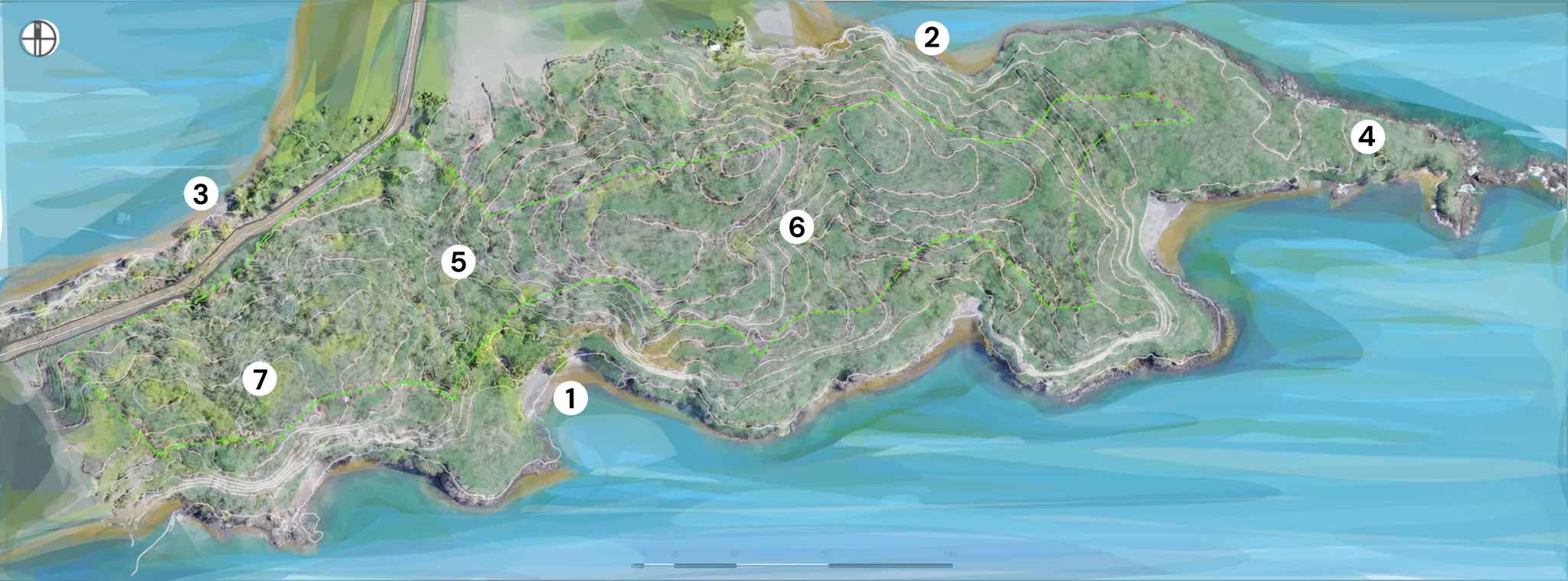
Seven programme areas shaped by slope, sun, wind and water, with residents and guests kept apart and the springs and forest left untouched.
Homes on the ocean-view and sunset slopes, shared life around a bridge at the centre, and a design direction carried through to architecture and interiors.
The result: a community built around self-sufficiency rather than subdivision.
The springs and the forest aren't what is left over from the plan. They are what the community is organised around.
See the opportunity and key constraints before you commit capital.
Test what the land can support before you fix the programme.
Set the territorial logic before design decisions get locked in.
Find where the strategy works against the land.
ATLAS is the land intelligence system developed by CRUDE Atelier, an architecture and green-design studio based in Costa Rica. Working across architecture, interiors, landscape and furniture, CRUDE brings together contemporary design, bioclimatic thinking and a deep understanding of place.
ATLAS formalises a methodology shaped by more than 16 years of architectural and territorial work across Poland, the UK and Latin America, connecting a thorough reading of the land with clear development decisions.
Led by Magdalena Urban, architect (MArch) and RIBA member, with over 20 years of experience.
Have a property or development decision ahead?
Your request is with us. We’ll reply to {{ sentTo }}.